List of states in the United States of America
Welcome to our comprehensive List of states in USA! This page provides a convenient reference point for state abbreviations, capital cities, and populations. With the abbreviations, you can easily navigate and identify each state, from the iconic “CA” for California to the captivating “NY” for New York. Discover the political and administrative centers of each state through the capital cities, which play vital roles in shaping their identities. Additionally, gain insights into the relative size and scale of populations across the nation. Whether you’re planning a trip, conducting research, or satisfying your curiosity, our list is your go-to resource for essential information about the 50 states of America.
List of states in USA
Click on State Name to get a List of Cities in desired State
| Name | Abbreviation | Capital | Largest | Population (2020 census) |
|---|---|---|---|---|
| Alabama | AL | Montgomery | Huntsville | 5,024,279 |
| Alaska | AK | Juneau | Anchorage | 733,391 |
| Arizona | AZ | Phoenix | 7,151,502 | |
| Arkansas | AR | Little Rock | 3,011,524 | |
| California | CA | Sacramento | Los Angeles | 39,538,223 |
| Colorado | CO | Denver | 5,773,714 | |
| Connecticut | CT | Hartford | Bridgeport | 3,605,944 |
| Delaware | DE | Dover | Wilmington | 989,948 |
| Florida | FL | Tallahassee | Jacksonville | 21,538,187 |
| Georgia | GA | Atlanta | 10,711,908 | |
| Hawaii | HI | Honolulu | 1,455,271 | |
| Idaho | ID | Boise | 1,839,106 | |
| Illinois | IL | Springfield | Chicago | 12,812,508 |
| Indiana | IN | Indianapolis | 6,785,528 | |
| Iowa | IA | Des Moines | 3,190,369 | |
| Kansas | KS | Topeka | Wichita | 2,937,880 |
| Kentucky | KY | Frankfort | Louisville | 4,505,836 |
| Louisiana | LA | Baton Rouge | New Orleans | 4,657,757 |
| Maine | ME | Augusta | Portland | 1,362,359 |
| Maryland | MD | Annapolis | Baltimore | 6,177,224 |
| Massachusetts | MA | Boston | 7,029,917 | |
| Michigan | MI | Lansing | Detroit | 10,077,331 |
| Minnesota | MN | Saint Paul | Minneapolis | 5,706,494 |
| Mississippi | MS | Jackson | 2,961,279 | |
| Missouri | MO | Jefferson City | Kansas City | 6,154,913 |
| Montana | MT | Helena | Billings | 1,084,225 |
| Nebraska | NE | Lincoln | Omaha | 1,961,504 |
| Nevada | NV | Carson City | Las Vegas | 3,104,614 |
| New Hampshire | NH | Concord | Manchester | 1,377,529 |
| New Jersey | NJ | Trenton | Newark | 9,288,994 |
| New Mexico | NM | Santa Fe | Albuquerque | 2,117,522 |
| New York | NY | Albany | New York City | 20,201,249 |
| North Carolina | NC | Raleigh | Charlotte | 10,439,388 |
| North Dakota | ND | Bismarck | Fargo | 779,094 |
| Ohio | OH | Columbus | 11,799,448 | |
| Oklahoma | OK | Oklahoma City | 3,959,353 | |
| Oregon | OR | Salem | Portland | 4,237,256 |
| Pennsylvania | PA | Harrisburg | Philadelphia | 13,002,700 |
| Rhode Island | RI | Providence | 1,097,379 | |
| South Carolina | SC | Columbia | Charleston | 5,118,425 |
| South Dakota | SD | Pierre | Sioux Falls | 886,667 |
| Tennessee | TN | Nashville | 6,910,840 | |
| Texas | TX | Austin | Houston | 29,145,505 |
| Utah | UT | Salt Lake City | 3,271,616 | |
| Vermont | VT | Montpelier | Burlington | 643,077 |
| Virginia | VA | Richmond | Virginia Beach | 8,631,393 |
| Washington | WA | Olympia | Seattle | 7,705,281 |
| West Virginia | WV | Charleston | 1,793,716 | |
| Wisconsin | WI | Madison | Milwaukee | 5,893,718 |
| Wyoming | WY | Cheyenne | 576,851 |
Table Source from Wikipedia
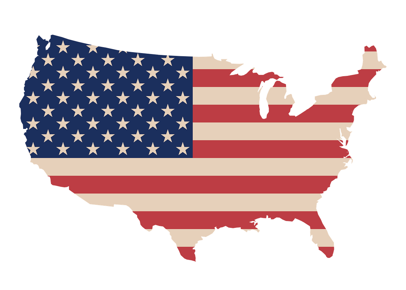
List of states in USA Map
A map featuring the List of States in the USA provides a visual representation of the country’s geographic layout and administrative divisions. It showcases the 50 states that comprise the United States, each demarcated by distinct borders and labeled for easy identification. This map offers an overview of the country’s expansive territory, highlighting the diversity and scale of its various regions.
The map not only serves as a reference tool but also allows users to explore the different states and their spatial relationships. It provides a comprehensive view of the country’s topography, rivers, lakes, and other prominent geographical features. Additionally, it may include major cities and capitals, aiding in the understanding of the distribution and size of urban centers across the nation.
With the List of States in the USA map, users can easily locate and familiarize themselves with the names and locations of each state. It serves as a valuable resource for educational purposes, geographical studies, travel planning, and general knowledge about the United States. Whether used in classrooms, offices, or homes, this map provides a visual representation of the country’s states and their spatial organization, promoting a deeper understanding and appreciation of the United States’ vast and diverse landscape.